Cruise in the bay of Quiberon and in the Gulf of Morbihan
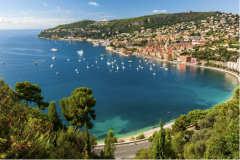
The 900 km of Morbihan's coastline is like a lace sculpture: rocky peninsulas, confidential coves and fine sandy beaches flirt with the crystal-clear ocean and sketch stunning curves! And if you see far away on the horizon, there are islands emerging from the ocean: Belle-Île-en-Mer, Groix, Houat or Hoëdic will be your accomplices in your escape. The blue immensity reserves unexpected pleasures like so many pearls to cultivate, and even more so as you approach the Gulf. The legend counts as many islands in Morbihan as there are days in the year. Enough to live the adventure every day!
First of all, it is advisable to study in detail the tide directory. A cruise in Southern Brittany is also planned according to the hours and coefficient of the tides! The currents of the Teignouse or the entrance to the Gulf are sometimes surprising. The tides generate important currents which give rhythm to the navigation: they shorten the distances when they are favorable but slow down strongly, or even prevent the progress in the opposite case.
Day 1: Port Haliguen euros Houat Island - 10 miles
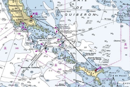
This first section does not present any particular difficulty, except for the passage along the road of Teignouse and Béniguet. Coming from Port Haliguen and on the way to Houat, you will find only two alternatives. At high tide, you will be deported towards the East and at low tide you will be sucked by the Teignouse road
If in low tide, this is not a problem as long as there is a little wind, it is not the same in spring tide. Currents can reach 2 to 2.5 knots. It is therefore necessary to take this into account.
The route is otherwise simple and well marked.
For your stopover, you have the choice between Port Saint Gildas, well sheltered except from E and NE winds. The depth is between 0.5 and 1.5m. Be careful for the big draught which will have to privilege the zone of anchoring in the ESE of the port. A service of roadstead is planned.
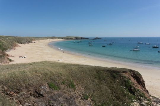
For those who like to anchor, the Great beach of Houat, near the old harbor, Port Er Beg, is simply magical when the wind is W and NW. It can be much less comfortable if the wind shifts to the East during the night!
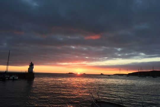
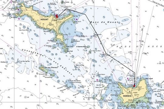
Day 2: Houat Island euros Hoëdic Island - 10 miles
Small jewels of nature, the islands of Houat and Hoëdic welcome you in all their simplicity and discover them in "slow" mode. Not a sound, only that of the waves and the sea birds. Breathe in the fresh air and feel the wind that makes your cheeks turn pink.
Depending on your choice of stopover, two routes are possible: either by the North to go to the port of Argol, or by the South and the passage of the Sisters to go around the island or to stop at the port of the Cross.
For the port of Argol, there is no particular difficulty. The mooring is done in daisy chain, moored on a ton.
For the port of La Croix, the access is more delicate but well marked. The port is open at low tide. It is therefore necessary to be able to beach on a crutch or to land directly. These two ports of call have their own charm and guarantee a total change of scenery.
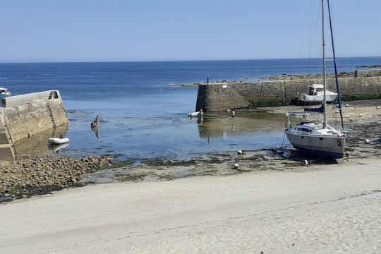
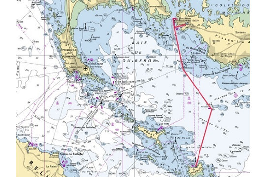
Day 3: Hoëdic Island - Port Crouesty or Port Navalo - 10/12 miles
Today, Port Crouesty is the largest marina in Brittany with more than 1432 berths on pontoons and of course with all the services for boaters.
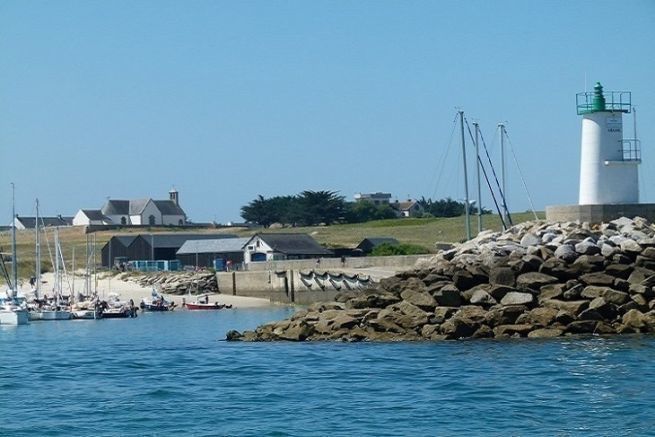
Gateway to the Gulf of Morbihan and easily identifiable by its green-roofed lighthouse, Port-Navalo is a pretty harbor equipped with berths on buoys. More intimate than its neighbor Crouesty, it will satisfy you except by W to NW wind.
No major difficulty for this crossing. You can use the W cardinal of the research plateau to get in line with the current and then it is straight to one of the two ports! Attention to the current which will be felt in the approach of the entrance of the Gulf.
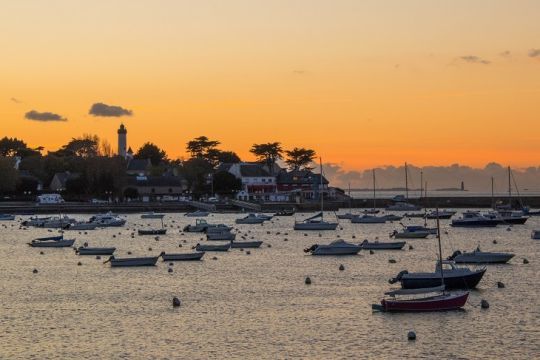
Day 4: Le Crouesty or Port Navalo euros Ile d'Arz - 8 miles
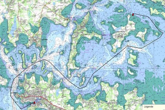
The island of Arz must be earned!
This is where we get to the heart of the matter. You have to leave the harbor 1 hour before the low tide of Port Navalo to take advantage of the beginning of a flow which will "go up" you quietly towards the "passe aux Moutons" between Kerpenhir and the "pointe du mouton". In this area, the currents are violent and generate eddies and swirls in which you should avoid getting caught. Don't forget that in the current, the boat's speed must be higher than the current's in order to remain maneuverable. The motor can be useful in light winds.
The island of Arz...and history
Elude its final "z": Arz is pronounced like Art, and rhymes with History. That of an island that has forged generations of renowned sailors. They have left an exceptional heritage and links beyond the borders. Calm and green, the island of Arz invites you to enjoy the sweetness of life: a mild climate, a preserved nature, places of conviviality. In short, little moments of happiness to share with family or friends. We actually like to "rest" for a while on the island of Arz.
You can stop over in the north of the island at the point of Belure or closer to the town at the beaches of Kernoël.
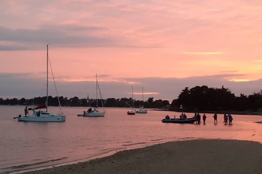
Day 5: Ile d'Arz euros Port Haliguen - 19 miles
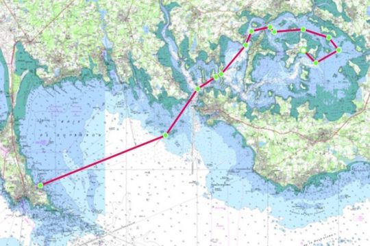
A return trip that will take you along Arradon, the Ile aux Moines and out of the Gulf along the Gavrinis tumulus. The currents are still there and you will have to leave your anchorage 1 hour before the high tide at Arz. This will allow you to go down with the tide to the Passe aux Moutons.
This small walk, certainly incomplete, gives you a small outline of the charms of the bay of Quiberon and the Gulf of Morbihan.
SHOM charts used to prepare this navigation:
- 7032 L : from Groix to Belle Ile
- 7143 L : Surroundings of Houat and Hoëdic
- 7137l L : Gulf of Morbihan

