A speed base in Les Glénan
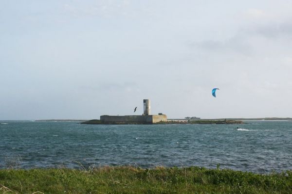
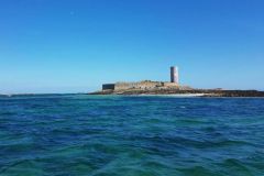
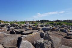
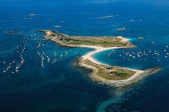
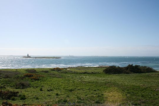
Any yachtsman who has anchored in the Glénan archipelago has already noticed this high tower on the Cigogne island. The concrete tower stands out from the 18th century fort that surrounds it. If the fort was indeed created to protect the archipelago from privateers and the English Navy, the tower was built in 1911 for a completely different reason.
The bittern, 20 meters high, is part of a speed base used by the French Navy to know the speed of its ships and to calibrate its lochs. It is part of a series of 10 landmarks used as reference points for alignments.
Knowing your boat speed before GPS
The mechanical log is used to know the speed of a boat in relation to the water. The days of the planchette and the knotted rope are over, and it is generally a propeller driven by the water under the hull or in the wake . But the correspondence between its rotation speed and the real speed of the boat is not obvious. It is therefore necessary to calibrate the instrument.
To do this, when a new boat is launched, a stopwatch is used to measure the time needed for a boat to go from point A to point B, for which we know the exact distance between them. The boat then travels the same distance in the opposite direction. By calculating the average, the effects of wind and current are cancelled out to obtain the boat's speed over water. But before GPS, you had to use other means to know your position. This is where Fort Cigogne and its speed base come into play.
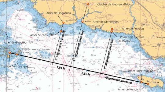
From Glénan to Groix and back
To calibrate its ships, the French Navy tested its vessels between the Glénan archipelago and the island of Groix. Set on a range of the Guéotec sea wall and the tower of Fort Cigogne, the ship left from the outskirts of Groix. It took a stopwatch as it passed the green lighthouse of Doëlan and the Pencleu sea wall, until it took a first measurement when the lookout saw the bell tower of Riec sur Belon and the sea wall of Kerhermen. The boat had then covered 5.66 miles. A second additional top by crossing the seawall of the Ile Verte and that of Raguenes, confirmed the measurements after 1.94 additional miles. All that remained was to set a course for Groix in the opposite direction, aligning the Saint-Nicolas and Kerigant seawalls, to take additional readings and cancel out the effects of the current and the wind.
A speed base without GPS
Speed bases are back in fashion, but GPS is now the weapon of choice. However, the exposed method remains valid. So notice to low-tech lovers, some of the bitters remain visible. Otherwise, it's up to you to find new ones!
