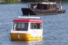
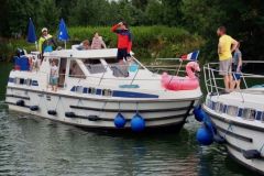
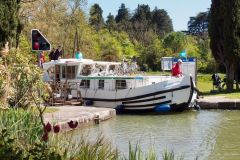
The engineers of the "Ponts et chaussées" who developed and supervised the waterway network applied the same recipes as on the roads. Milestones and rigorous signage have been deployed to allow users and stakeholders of the waterway to locate themselves with precision. In the age of GPS, these milestones and other signs may seem outdated, especially since some of them date back several centuries. However, their usefulness is unequalled and they tell a story, that of the inland waterways and their sometimes overflowing moods. These landmarks continue to inform us on a daily basis and add to the charm of our navigations.
A rigorous demarcation
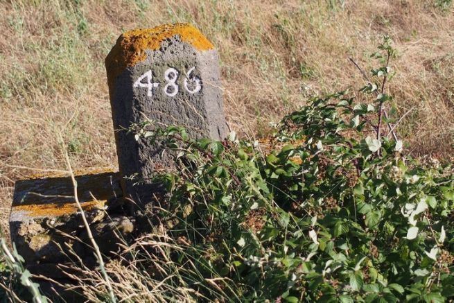
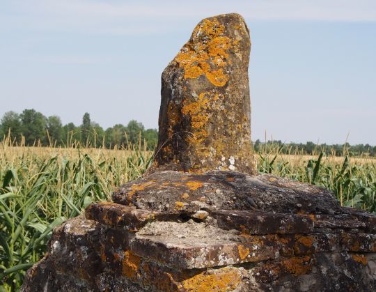
As soon as they were dug, the canals were marked out. Stone marks marked each kilometer gained with shovels and pickaxes! Over time, the rigor of this demarcation was sometimes challenged. Diversions have shortened the initial route, calling into question the distances and therefore the markers that materialize them. To complicate the understanding, the counting often started at the limit of a department. Thus, the same waterway could have two or three numberings which started again at zero at each administrative limit. These markers, especially useful to maintenance workers, have gradually blended into the vegetation of the banks.
Useful benchmarks
In recent years, they have made a comeback in the form of signs that are just as useful to boaters as they are to bike-road users. These markers are called PK for kilometre points. Is it useful to specify that the distance between two of them is 1000 meters? The question has been asked! They allow you to locate yourself even better since they are also shown on navigation maps, which allows you to compare the paper route with reality. These references are widely used by the navigation services which refer to them when drafting the notice to skippers layoffs and works. This is also the marker you will need to indicate if you have to launch a distress call, by phone or by VHF for waterways where a radio watch is provided.
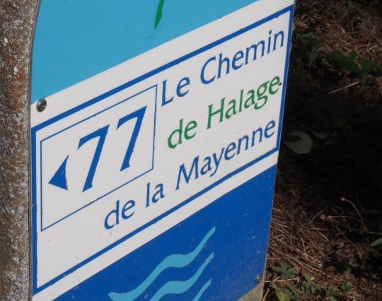
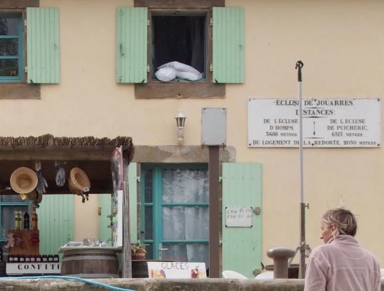
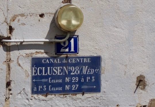
The comfort of the panels at the locks
On the waterways, the most obvious landmarks, those that give rhythm to navigation, are the locks. They have names, but also a numbering system that follows the waterway without any concession to the administrative limits of the land. These indications appear on the pediment of the lock houses and the boater has them in front of him during the whole trip. The precise distance from the adjacent locks can be read. This information is particularly useful when it comes to estimating the time needed to get to the "next" lock in order to comply with the service's opening hours. Again, this information can be found on the maps.
Level scales and flood markers
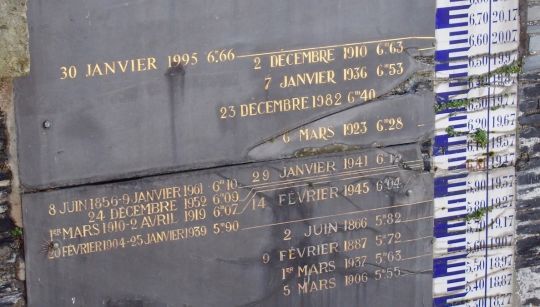
In addition to linear markers, waterways are also marked by level scales. These are of considerable importance for those who live or work near water. Some rivers are known for their devastating flash floods, but also for their droughts. The monitoring of the water level is thus a crucial indication for the boatmen as well as for the riparians. We come across many of them, most of them recalling episodes where nature has shown its capacity to get out of its depth!
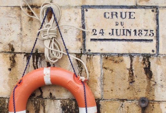
The names themselves have evolved
All of these markers are a legacy of the past, of the time when bargemen read the waterways and only exceptionally had a map. The canals then had evocative names. With the advent of river tourism, a certain number were renamed: the Canal des houillères de la Sarre became the Canal de la Sarre, the Canal latéral à la Garonne is now the Canal de Garonne, a link in the Canal des deux merseuros.
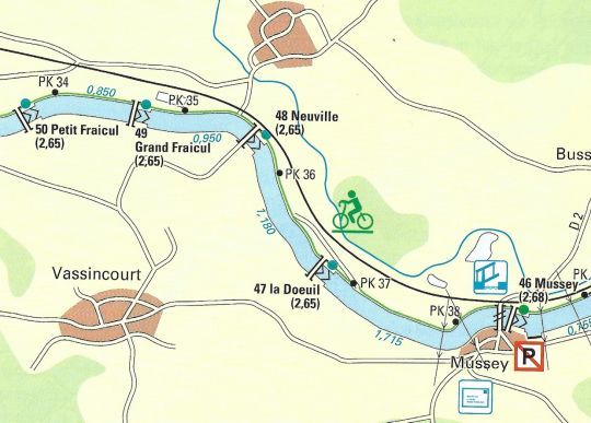
One might think that physical landmarks are outdated in the age of GPS, yet many of us find it far more convenient and enjoyable to look at the lock sign than at the chartplotter. In any case, tracking down these stone markers and cast iron signs is a pleasure that sharpens the curiosity and adds to the pleasure of navigation.
