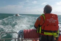
CROSS has a wide range of services for locating and searching for disaster-stricken vessels. Both long range and short range radar are purposefully useful devices, although the vessel being searched for must produce an echo on the radar and this echo must be large enough to be visible. Our composite pleasure craft have few metal parts, which are the only ones that reflect radar waves. For this reason, many boaters equip their boats with radar reflectors, which are supposed to complement the echo produced by their boat. However, this echo can, in turn, be insufficient. In this case, CROSS uses another tracking system, called direction finding.
Knowing how to find us
In an ideal situation, the yachtsman is able, with a bearing compass, a map, a GPS... to locate himself on the water and provide this information to the operator. However, this may not be possible due to inexperience, stress, breakdowns...
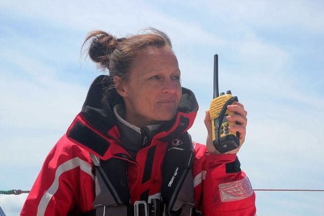
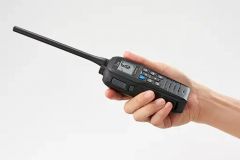
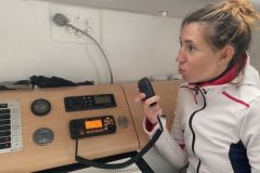
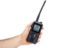
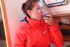
In this case, you may be asked to use your VHF and switch to a working frequency and transmit, continuously, for a certain period of time. This time will not be used to check the proper functioning of your VHF, but for the operator with whom you are speaking to locate the transmission point, and therefore your location, with a fairly good degree of accuracy.
Basic principle of radiolocation
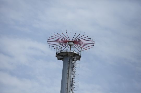
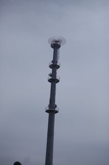
The direction finder used by these professionals consists, for the CROSS of Jobourg, in the Channel, of a circle of about thirty antennas. Each of these antennas will communicate to a central unit the level that it reports to your transmission. It is by knowing precisely the layout of each antenna and its radiation pattern, and finally its sensitivity (we speak of the forward/backward ratio) that the system will be able, by comparing the values recorded by each of these antennas, to carry out a precise triangulation of the place of transmission, your ship.
Speed of implementation
A priori complex, this operation only takes a few seconds, a dozen at most, during which the most complicated part is that you can keep the "carrier" active and with as little variation as possible in the reception of your signal by the CROSS.
CROSSes use many other technologies to communicate, exchange and locate the various users of the water body. The radio direction finder is one of them, which can be described as archaic or backward-looking with the explosion of GPS or other AIS that we currently have. It still contributes to our safety when we are at sea.
